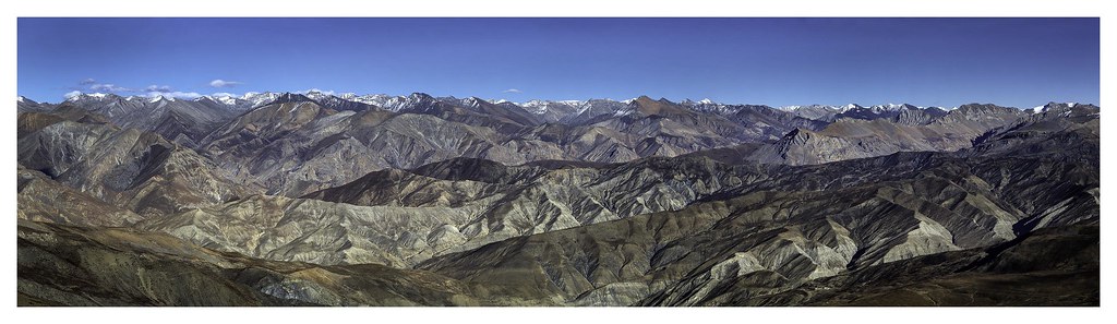
Planning a Manaslu Circuit Trek requires more than a rough idea of the route. Knowing the exact elevation of each village, the daily distances, and where the trail climbs versus descends helps you build a realistic itinerary and pace your acclimatization correctly. This guide breaks the trek down stage by stage with GPS-accurate data.
Complete Village-by-Village Elevation Table
| Village / Waypoint | Elevation | Notes | |---|---|---| | Soti Khola | 890m | Trail start, riverside | | Machha Khola | 869m | Lower than start — river descent | | Tatopani | 1,190m | Hot springs | | Doban | 1,070m | Suspension bridge area | | Jagat | 1,340m | Permit checkpoint | | Philim | 1,570m | Forest trail begins | | Deng | 1,804m | | | Ghap | 2,160m | Lower and Upper Ghap | | Namrung | 2,630m | Alpine conditions start | | Lihi | 2,920m | | | Lho | 3,180m | Best Manaslu view, Rachen Nunnery | | Shyala | 3,500m | | | Samagaon (Sama) | 3,530m | Largest upper village, acclimatization stop | | Samdo | 3,860m | | | Dharamsala | 4,460m | Larke Pass base camp | | Larke Pass (Larkya La) | 5,160m | Highest point of circuit | | Bimtang (Bimthang) | 3,590m | Meadow valley, post-pass camp | | Tilje / Tilche | 2,300m | | | Thonje | 2,030m | | | Dharapani | 1,860m | Circuit end, Annapurna junction |
Notable Elevation Quirks
One of the first things that surprises trekkers is the initial descent. You start at Soti Khola (890m) and actually drop to Machha Khola (869m) before the trail begins climbing. This counterintuitive start reflects the true geography of the Budhi Gandaki valley — you are following the river, not climbing immediately away from it.
Similarly, Doban (1,070m) sits lower than the neighboring village of Tatopani (1,190m), meaning Day 2 involves a short descent mid-stage before climbing again. These undulations in the lower gorge are a key feature of the first three days.
Stage-by-Stage Distance Guide
| Stage | Route | Distance | Elevation Change | |---|---|---|---| | Day 1 | Soti Khola → Machha Khola | ~10 km | -21m net (gorge descent) | | Day 2 | Machha Khola → Jagat | ~14 km | +471m net | | Day 3 | Jagat → Deng | ~15 km | +464m | | Day 4 | Deng → Namrung | ~14 km | +826m | | Day 5 | Namrung → Lho/Shyala | ~12 km | +550–870m | | Day 6 | Shyala → Samagaon | ~8 km | +30m (gradual) | | Day 7 | Acclimatization in Samagaon | — | Side trip to Pungyen Gompa | | Day 8 | Samagaon → Samdo | ~8 km | +330m | | Day 9 | Samdo → Dharamsala | ~9 km | +600m | | Day 10 | Dharamsala → Bimtang (via Larke Pass) | ~18 km | +700m / -1,570m | | Day 11 | Bimtang → Tilje | ~13 km | -1,290m | | Day 12 | Tilje → Dharapani | ~9 km | -440m |
Distances above are approximate trail distances. Actual GPS-logged distances can vary by 10–15% based on trail deviations, river crossings, and switchback paths.
Understanding the Elevation Profile Shape
The Manaslu Circuit has a clear three-act elevation profile:
Act 1 — The Approach (Days 1–4): Gradual climb from 890m to roughly 1,800m. The gorge keeps you close to the river, so the ascent feels gentle despite covering significant ground.
Act 2 — The Alpine Build (Days 5–9): A steady, consistent climb from 2,000m to 4,460m over five days. This section is designed — by geography — to allow natural acclimatization. No single day gains more than 900m.
Act 3 — The Pass and Descent (Days 10–12): The sharp spike to 5,160m followed by a long descent back to 1,860m. This final act is the most dramatic change in the entire circuit.
How to Use This Data for Itinerary Planning
A useful rule for high-altitude trekking is to avoid sleeping more than 300–400m higher than the previous night once above 3,000m. Looking at the table, the route naturally accommodates this:
- Namrung to Lho: +550m sleeping gain
- Lho/Shyala to Samagaon: minimal gain
- Samagaon has a built-in rest day
The one section that demands attention is the Samdo to Dharamsala push (+600m in a single stage to 4,460m). Trekkers who feel any altitude symptoms at Samdo should rest an extra day before continuing.
Offline Map Recommendations
Download Maps.me, Gaia GPS, or AllTrails with offline map packs before leaving Kathmandu. Cell coverage is unreliable above Jagat and essentially non-existent above Namrung. Having GPS elevation data accessible offline is not a luxury — it is a practical safety tool on this route.